The digital level from Fuzhou Yu Xin Electronic Co., Ltd. is a remarkable surveying instrument that has been making waves in the engineering field. It's designed to replace traditional leveling tools with its advanced technology and user-friendly features. This device enables surveyors to obtain accurate elevation and level data with greater ease and speed. Whether it's for large-scale construction projects, infrastructure development, or any other surveying tasks, our digital level is a reliable choice that can enhance the overall quality and efficiency of the work.
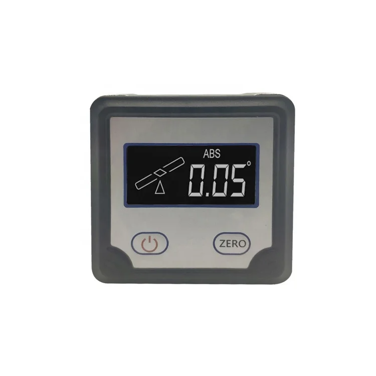
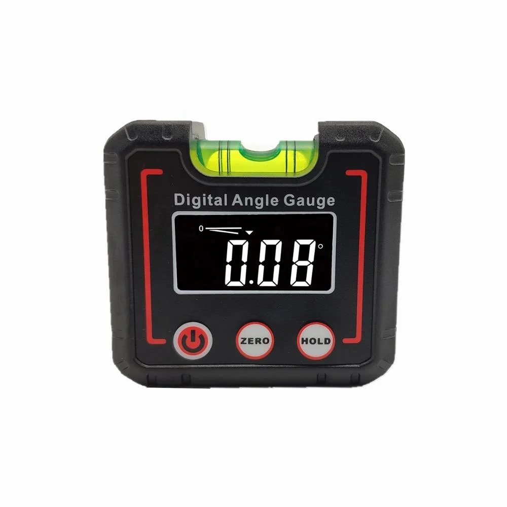
One of the key features of our digital level is its high-precision measurement capability. It can measure elevation differences and angles with extremely fine accuracy. For example, it can detect height variations down to a very small margin, which is crucial when working on projects where precision is essential, like building high-rise structures or laying railway tracks. With this level of precision, surveyors can be confident that the data they collect will form a solid foundation for the subsequent construction work. It reduces errors and the need for rework, saving both time and resources in the long run.
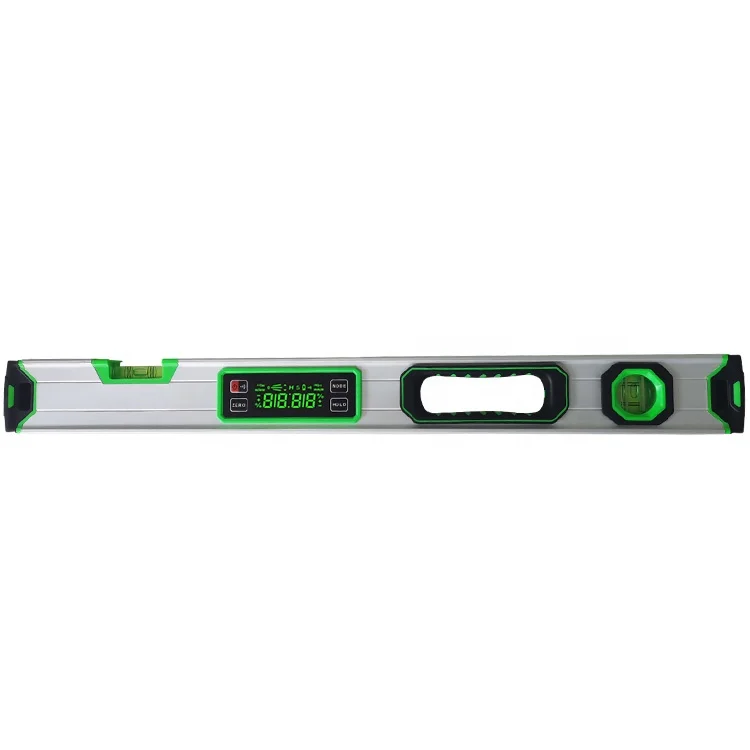
The dual-axis measurement function is another standout aspect. This allows the digital level to measure both the horizontal and vertical angles simultaneously. In a complex construction site where there are multiple slopes and inclinations to consider, being able to capture both axes of data at once is a huge advantage. For instance, when surveying a sloped terrain for a road construction project, it can quickly provide the necessary information about the angles in both directions, enabling engineers to plan the grading and alignment of the road more accurately. This integrated approach simplifies the surveying process and ensures that no aspect of the terrain's geometry is overlooked.
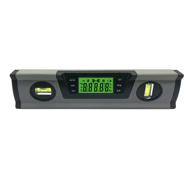
The visual display of our digital level is also worth highlighting. It presents the measured data in a clear and intuitive manner. Instead of just showing numbers, it might use graphical representations like charts or diagrams to make it easier for users to understand the results at a glance. For example, when measuring the elevation along a long stretch of a pipeline route, the display can show a visual profile of the ground, highlighting any changes in height. This visual feedback helps surveyors quickly identify any areas that may require special attention or further investigation, enhancing the overall efficiency of the surveying work.
Firstly, the high-precision measurement reduces the margin of error significantly. In traditional surveying methods, even a small inaccuracy in measuring elevation or angles could lead to major discrepancies in the final construction. With our digital level's precise readings, surveyors can complete their measurements faster as they don't have to repeat the process multiple times to ensure accuracy. This directly translates into time savings for the entire project.
Secondly, the dual-axis measurement function streamlines the workflow. Instead of having to measure the horizontal and vertical angles separately using different tools or taking multiple readings, the digital level can provide both sets of data in one go. This not only speeds up the data collection process but also reduces the chances of errors that could occur when combining data from different sources. Engineers can then use this comprehensive data immediately to start planning and designing, getting the project off to a quicker start.
Finally, the visual display makes it easier for different team members to communicate and collaborate. When the data is presented visually, it's more accessible to everyone involved in the project, from surveyors to engineers and construction workers. They can quickly understand the terrain conditions and any potential challenges, allowing for better coordination and decision-making. This seamless communication helps avoid delays and misunderstandings, further improving the efficiency of the surveying and construction process.
In building construction, the digital level is used to ensure that the foundation is level and that each floor is built with the correct elevation. For high-rise buildings, it's essential for maintaining the vertical alignment of the structure. During the construction of a commercial complex, surveyors can use it to check the slopes of ramps and the flatness of floors, ensuring a smooth and safe environment for future occupants.
For road and railway projects, the digital level plays a vital role in determining the proper grading and alignment. It helps in setting the elevation of the road surface to ensure proper drainage and a comfortable driving experience. In railway construction, it's crucial for ensuring that the tracks are laid at the correct incline to allow for safe and efficient train operation.
When surveying large plots of land for development purposes, the digital level can quickly map out the topography, identifying areas of high and low elevation. This information is then used to plan the layout of buildings, drainage systems, and other infrastructure elements, making the most efficient use of the land.
In industrial settings, such as factories or power plants, the digital level is used to install heavy machinery and equipment. It ensures that the equipment is level and properly aligned, which is essential for its safe and efficient operation. For example, when installing a large generator, precise leveling is required to prevent vibrations and premature wear.
In conclusion, the digital level from Fuzhou Yu Xin Electronic Co., Ltd. is a powerful tool that offers significant advantages in terms of precision, functionality, and efficiency. It has a wide range of applications in various engineering and surveying tasks. If you're looking for a reliable digital level to enhance your surveying work and improve project efficiency, we encourage you to leave your inquiry information. Our team will be happy to provide you with more details and help you make the right choice.
 Hot News
 CH
CH